
Terravision / Map packs / Broken Hill
Broken Hill EMIT mineral map pack, New South Wales
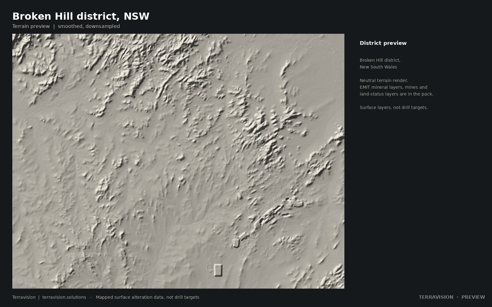
NASA EMIT mineral maps for the Broken Hill district in far-west New South Wales, with mineral occurrences, mining and exploration titles, and layers for reserved and Indigenous land.
Surface alteration layers, not drill targets.
Launch price$345$245
Team (up to 5)$595
Academic / student$99
Buy the pack (checkout on Payhip) →
Instant download, about 140 MB. Prices in US dollars. Team and academic licences are options at checkout.
Questions first? Get in touch.
Specification
What's in the pack.
| Area and resolution | About 1,600 km². EMIT layers at 60 m; Sentinel-2 and ASTER indices at 20 m. GDA2020 / MGA zone 54. |
|---|---|
| EMIT minerals | Band-depth and persistence layers for the main alteration minerals, plus a dominant-mineral map and a combined alteration index. |
| Occurrences and titles | 1,701 mineral occurrence records, with mining and exploration title status and an alteration index for ground outside mining titles. |
| No-go land | Reserved land, native title determination areas and Indigenous land use agreement areas as separate layers. |
| Formats | GeoTIFF, GeoPackage, CSV, Google Earth KMZ and a PDF guide. |
| Licence | Single-user licence for your own internal and commercial use. No resale or redistribution. The team licence covers up to five users. Third-party data is credited in the guide. |
Other districts: all map packs. Or ask us to map your own area.