
Terravision / Services / Geothermal
Surface alteration and structure for geothermal exploration.
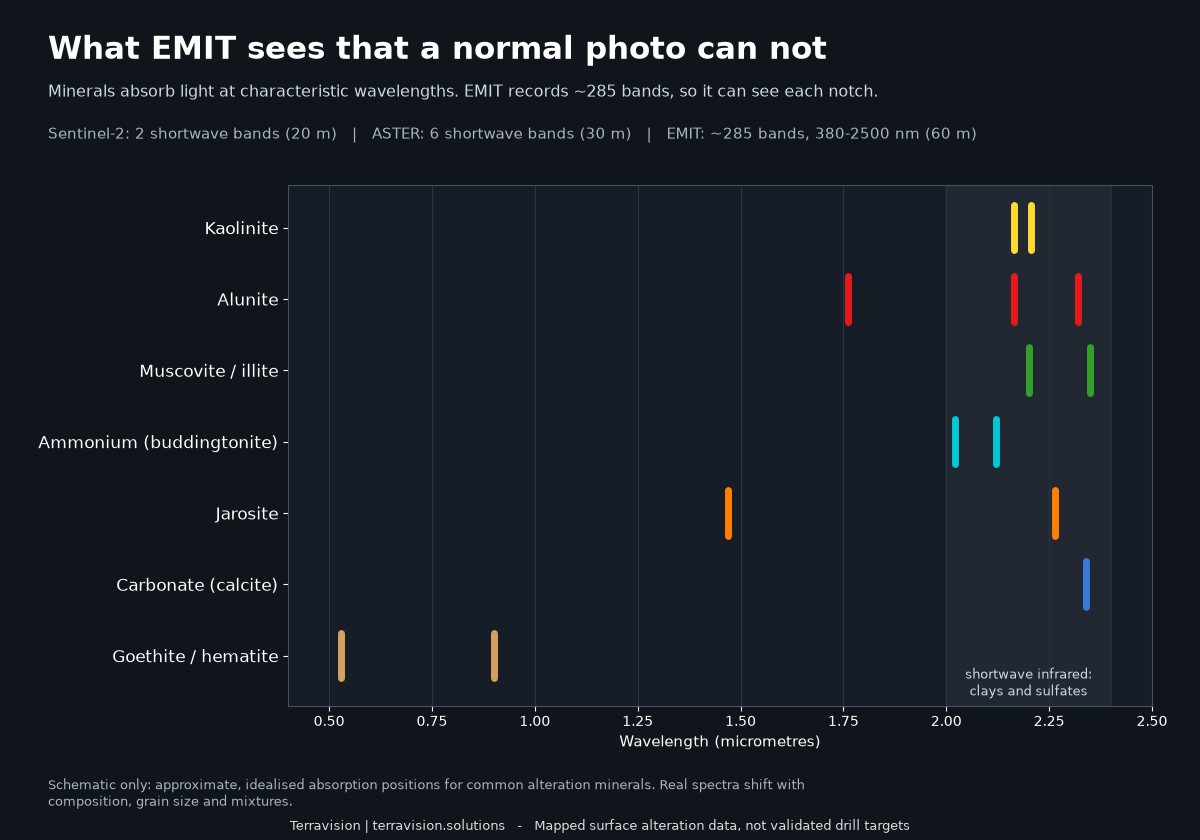
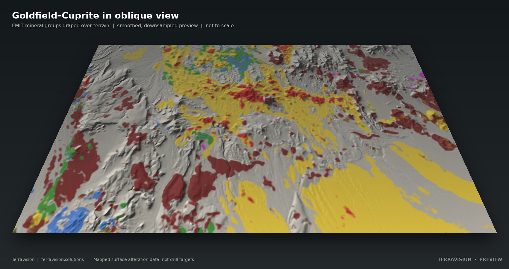
Geothermal systems leave mineral and structural clues at the surface: clays, silica and iron oxides, and the faults that move fluid. We map those from NASA EMIT, ASTER and Sentinel-2, and from high-resolution terrain data, and return a short list of ground worth visiting. Delivery is within 48 hours of a confirmed boundary.
This is surface mapping, not a reservoir model and not a temperature forecast.
What we deliver
Alteration-mineral layers, a combined alteration view, fault and lineament mapping from terrain (including LiDAR where it is available), and a short written note on what the maps show and where they stop being useful. Files come as a Google Earth KMZ, GeoTIFFs and a CSV. We will also say, plainly, if vegetation, cloud or cover means the method is a poor fit for your area.
Ground-deformation monitoring from satellite radar (InSAR) is a separate service, offered as a one-off baseline or a monthly series. A worked example is on the Brady geothermal field InSAR pilot page, and the service is described under InSAR monitoring.
Prices and turnaround
The same custom-area rates as our other mapping: $950 for a 4 km² test, $3,300 for a starter area up to 100 km², or $2,300 for a new client's first project. Delivery within 48 hours of a confirmed boundary. All prices in US dollars.
Questions we are asked
Can you map a geothermal reservoir from orbit?
No. We map surface minerals and structure. That can help you decide where to look; it does not replace geophysics, wells or a reservoir model.
Do you measure ground movement?
Not as part of this mapping product. We offer InSAR monitoring separately: a baseline deformation report is $2,900, or $1,950 for a new client's first project until 31 March 2027, then $450 a month for ongoing monitoring after a baseline. A worked example, the Brady geothermal field pilot, is on its own page.
What about vegetation and cloud?
Dense vegetation and persistent cloud hide the surface from these sensors. We will tell you if an area is a poor fit before we start.
Can this be combined with a site pack?
Yes. A pre-fieldwork site pack is $650 per area and can put access, slope, terrain and the target layers into one PDF.
Tell us about your area.
A rough boundary is enough to start. We reply to every enquiry, usually the same day.