
Terravision / Map packs / Clayton Valley
Clayton Valley EMIT mineral map pack, Nevada
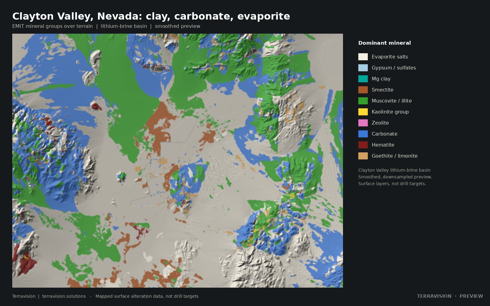
EMIT mineral maps of the Clayton Valley lithium-brine basin in Nevada: where clays, carbonates, evaporites and iron minerals sit at the surface, which ground is claimed, and what is no-go.
Surface alteration layers, not drill targets.
Launch price$395$295
Team (up to 5)$795
Academic / student$99
Buy the pack (checkout on Payhip) →
Instant download, about 100 MB. Prices in US dollars. Team and academic licences are options at checkout.
Questions first? Get in touch.
Specification
What's in the pack.
| Area and resolution | About 1,600 km². EMIT layers at 60 m; Sentinel-2 and ASTER indices at 20 m. UTM zone 11N. |
|---|---|
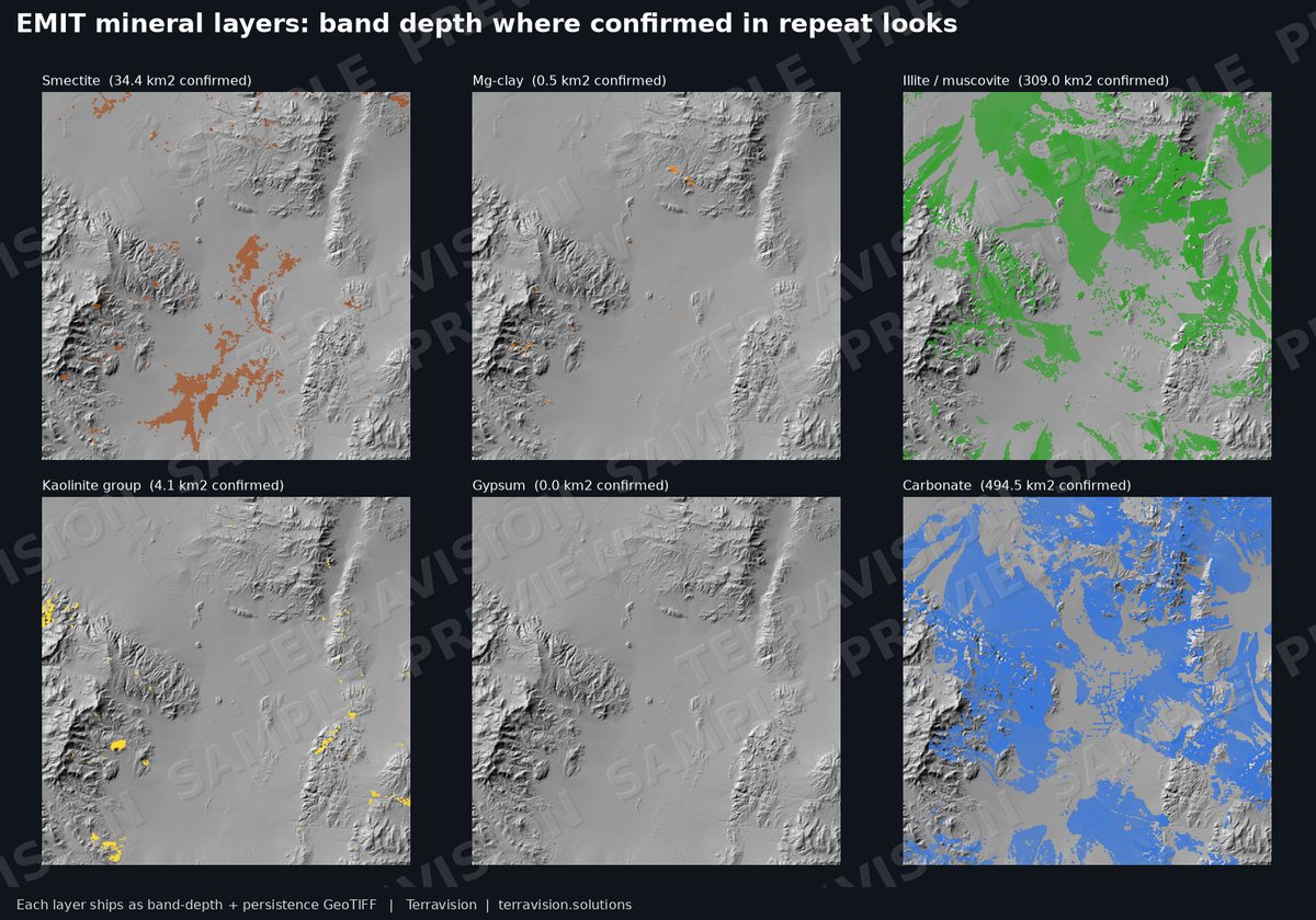
| EMIT minerals | 10 groups including evaporite salts, gypsum, Mg-clay, smectite, illite/muscovite, kaolinite, zeolite, carbonate, hematite and goethite/limonite, each with band depth and persistence. |
| Basin layers | Clay, carbonate and evaporite indices, playa outline, structure and a combined alteration index. |
| Claims and land | BLM mining-claim overlay showing open and claimed ground, known mines and prospects, and a land-status layer including no-go land. |
| Formats | GeoTIFF, GeoPackage and GeoJSON vectors, CSV tables, Google Earth KMZ and a PDF method guide. |
| Licence | Single-user licence for your own internal and commercial use. No resale or redistribution. The team licence covers up to five users. Third-party data is credited in the guide. |
Other districts: all map packs. Or ask us to map your own area.